
OVERVIEW
Along the HarborWalk
The HarborWalk has a changing character as it winds through the city’s waterfront neighborhoods and downtown district, stretching from Chelsea Creek to the Neponset River, through East Boston, Charlestown, North End, Downtown, South Boston and Dorchester. Part of the richness of the HarborWalk is its variety, reflecting the various activities and urban texture of adjacent land. The HarborWalk’s design guidelines allow for the expression of diversity and a variety of active and passive uses.
The HarborWalk is designed to connect the public to a clean and restored Boston Harbor. The HarborWalk links the water’s edge to the city’s open space system.
Along some areas of the waterfront, the HarborWalk extends into maritime industrial areas. In these areas the HarborWalk may be a series of observation points, rather than a linear path, where the public has the opportunity to view at close range the exciting operations of a working industrial port. At certain locations and times, there are limitations to public access in order to protect public safety and industry operations.
The HarborWalk also connects to new and existing networks of inland trails, which will link the HarborWalk to established parkways and open space networks, including the Emerald Necklace system, the Charles River Esplanade, and the Rose Kennedy Greenway. In the future, the South Bay Harbor Trail will offer Boston residents a new and exciting way to access the Boston Harbor on foot or bicycle. The trail will extend from the Ruggles MBTA station and winds its way through Lower Roxbury, the South End, and Chinatown to reach the HarborWalk at the Fort Point Channel.
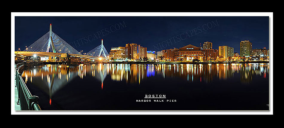
Photo by Shane A Psaltis from the Boston Harbor Walk Park
